
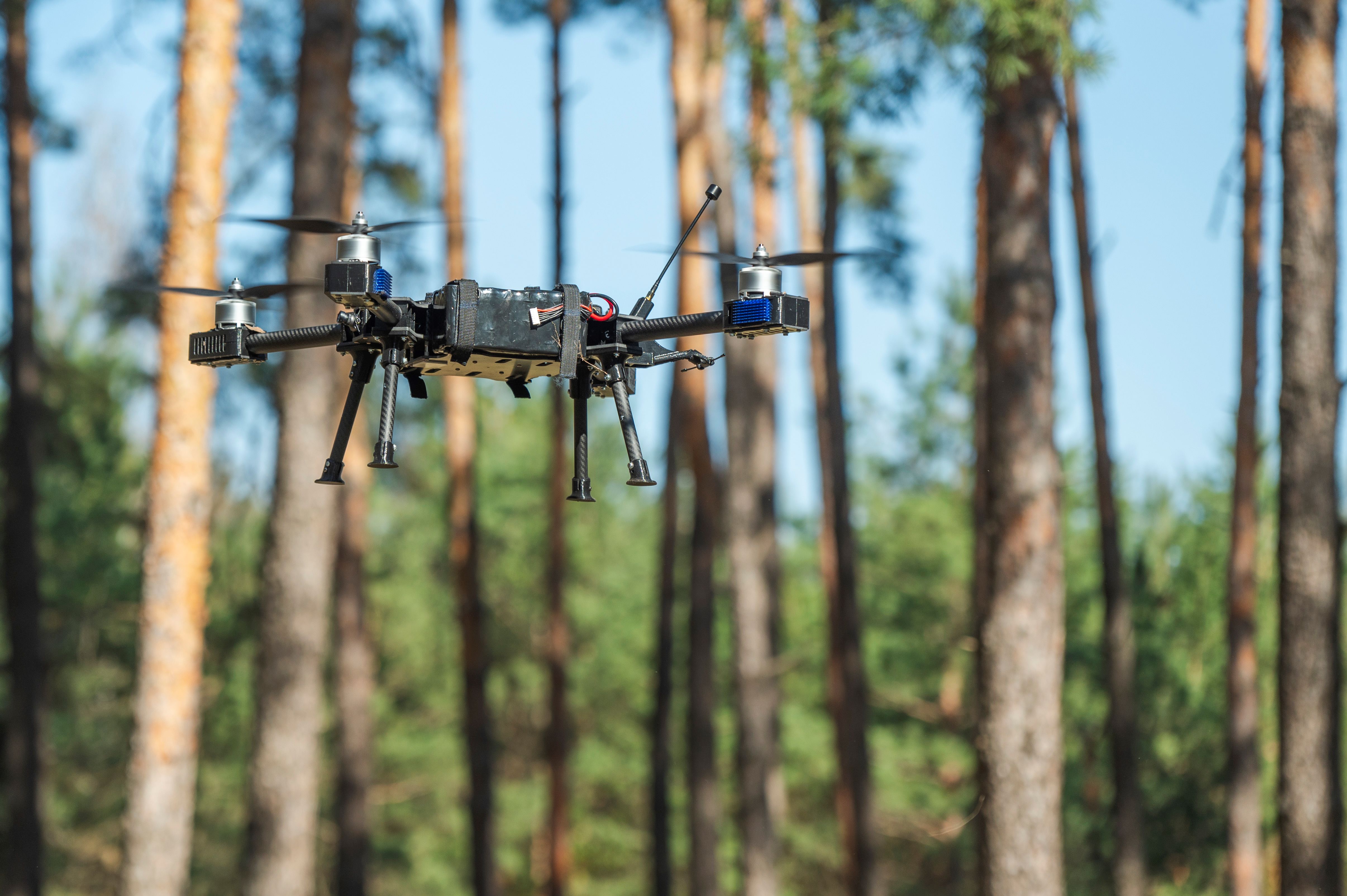
Jamaica has put its first laser capable Vertical Take Off and Landing drone into operation, alongside a new National Forest Inventory system, to strengthen forest recovery after Hurricane Melissa, as reported by CANA News on October 26.
The technology is valued at J$33.2 million and is supported by the United Nations Development Programme through the NDC Partnership Action Fund. It will support the Forestry Department’s national ReLeaf initiative and Jamaica’s forest commitments under its Nationally Determined Contributions, as reported by CANA News.
What the drone does
The fixed wing drone is built for longer flight times and detailed, laser quality field data. Forestry teams will use it to validate conditions and track changes across Jamaica’s forests, as reported by CANA News.
The National Forest Inventory programme is now integrated into the Forestry Department’s Forest Management System, with real time dashboards and new visualisation and reporting tools, creating a more connected way to monitor the island’s forest resources.
Why it matters after Melissa
“This technology is particularly important as Jamaica responds to the impacts of extreme weather events, forest degradation, and other environmental pressures,” said Ainsley Henry, Chief Executive Officer and Conservator of Forests, as reported by CANA News. He said the ability to assess affected areas and monitor changes over time will strengthen planning for restoration and help the Department prioritise where to act first.
UNDP Resident Representative Dr Kishan Khoday pointed to US$1.3 billion in hurricane loss and damage to the environment, including destruction of forests and critical watersheds, as reported by CANA News.
The replanting underneath it
Under the Reforestation, Ecological Enhancement and Landscape Framework, known as RE-LEAF, the Forestry Department is replanting 300,000 seedlings in Phase 1, prioritising 170,000 in key watersheds, 50,000 in urban and peri-urban areas, and 30,000 fruit trees to support food security and community livelihoods, as reported by CANA News.
The drone and the inventory system are the measurement layer on top of that work: proof of what was lost, where regrowth is happening, and whether Jamaica holds its commitment to no net loss of forest cover.
Photo credit: Forest survey drone in flight, representative image via Getty Images and Sweco.
Leave a Reply